When planning a flight, weather is not just a consideration, it can shape the entire journey. One term you’ll often hear in UK forecasts is “low-pressure”. But what exactly does that mean, and why does it matter, not just for pilots, but for anyone planning a day out?
In this article, we’ll take a closer look at what low-pressure systems are, how they form, and why understanding them is key whether you are flying a light aircraft or planning a trip to the beach.
What is a Low-Pressure System?
Atmospheric pressure is the force exerted on the Earth’s surface by the weight of the air above it. In a low-pressure system, this force is lower than in the surrounding areas. At the heart of every low-pressure system is one key idea: air is rising leading to cloud formation, and often unsettled or stormy weather.
How are they formed?
Low-pressure systems in the UK (often called “depressions”) typically form along boundaries where warm tropical air meets cooler polar air. Initially, colder air lies to the north and warmer air to the south. A disturbance along this boundary can cause it to develop into a wave, bending the line between the air masses.
This process leads to the formation of two distinct fronts:
- a warm front, where warm air advances over cooler air; and
- a cold front, where cooler air advances into warmer air.
The diagrams below show the formation of a low-pressure system in four stages. In Stage 1, there is a stationary boundary between the air masses. In Stage 2, this boundary becomes distorted into a wave. As the wave develops, the warm and cold fronts become more defined.
The cold front moves faster than the warm front. As a result, it eventually catches up, forming an occluded front. At this stage, the warm air is lifted off the ground and the system begins to weaken, although it can still bring widespread cloud and prolonged rainfall. The occluded front can be seen in Diagram 4, where the red semi-circles and blue triangles are combined.

Why are Low-Pressure System seen so much in the UK?
Low-pressure systems are often seen in the UK, as it sits on the boundary between different air masses. They form in the Atlantic Ocean and are sent to the UK by the prevailing South-Westerly jet stream.
What are the conditions like within the Low-Pressure System?
The diagram below shows the vertical structure of a low-pressure system from the ground upwards.

At the warm front…
The warm front has a much gentler gradient than the cold front. Here, warm tropical air is gradually forced to rise over cooler, denser air. As the air ascends, it cools and condenses, leading to a progressive build-up of cloud, from high-level cirrus, through altostratus, to lower-level stratus and nimbostratus.
This sequence of cloud formation often results in reduced visibility and prolonged, steady precipitation, typically in the form of rain or drizzle. These conditions are characteristic of the damp, overcast weather frequently experienced in the United Kingdom.
In the warm sector…
The warm sector, located between the two fronts, contains relatively stable air. Despite this stability, it is commonly associated with extensive cloud cover, overcast skies, and poor visibility.
At the cold front…
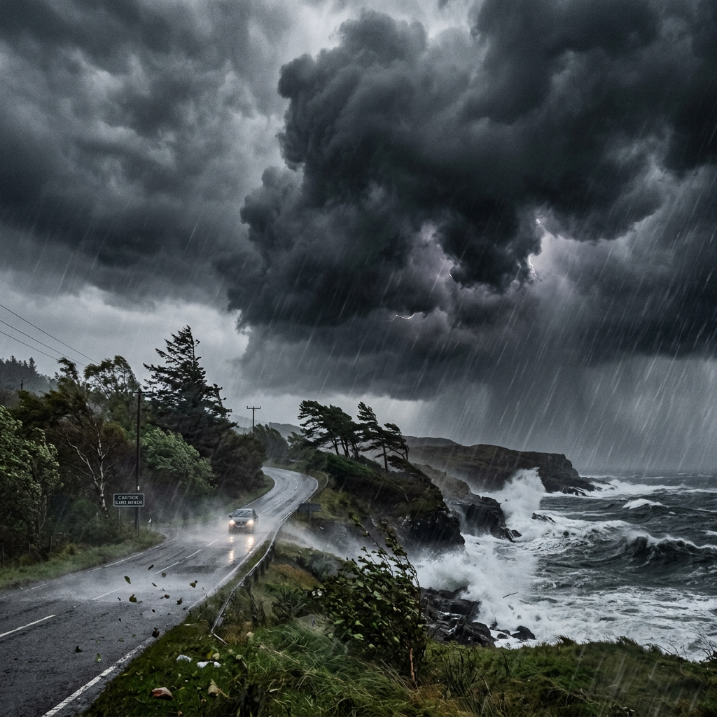
The cold front is like the warm front’s evil twin. It has a much steeper gradient than the warm front, forcing warm air to rise more rapidly and vigorously. This rapid uplift encourages the development of towering clouds such as cumulus and cumulonimbus.
These clouds can produce intense weather, including heavy rainfall, hail, and thunderstorms. Following the passage of the cold front, skies typically begin to clear and visibility improves. However, showery conditions often persist, gradually decreasing in both frequency and intensity as the low-pressure system moves away.
Why is knowledge of Low-Pressure Systems important when planning a flight or a day out?
As outlined, low-pressure systems are generally associated with overcast, unstable, and sometimes stormy weather. For aviation, this can present several challenges. Flights may need to operate in cloud and avoid hazardous conditions such as cumulonimbus clouds, which are associated with severe turbulence, icing, and lightning.
For everyday planning, unsettled weather increases the likelihood of rain, strong winds, and poor visibility. So next time you hear ‘low pressure’ in the forecast, you’ll know exactly what’s coming… cloud, rain, and probably a change of plan.
Leave a Reply